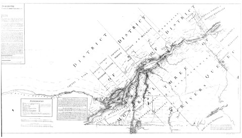
Plan of part of the Province of Lower Canada containing the country from the River Montmorency near
Quebec upwards as far as any surveys have been hitherto made, that is to St-Regis on the Rr. St Laurence,
and to the township Buckingham, on the Rr. Ottawa, compiled in the Surveyor General's Office in the latter
part of the year 1794 & early part of the year 1795 by Mess Samuel Gale & John B. Duberger, from the
undermentionned materials.
by order of his excellency Guy Lord Dochester, Captain General & Governor in chief of
the provinces of Upper & Lower Canada ; compiled by Samuel Gale & John B. Duberger. - Échelle [1:253 440]. - [19-]
(original créé en 1795). - 2 cartes fenêtres ; 9 x 19 cm.
Archives de la Ville de Montréal
Catalog Number:
VM66-S2-P012
Image:
Era:
Web Magazine: