--July 31, 2019.
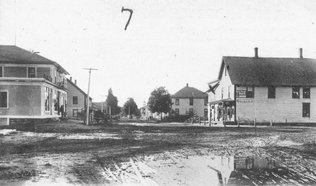
1) This photograph, c.1905, shows Main Street in which village, formally known as "the Flat"?
a) North Hatley
b) Coaticook
c) Richmond
d) Ayer's Cliff
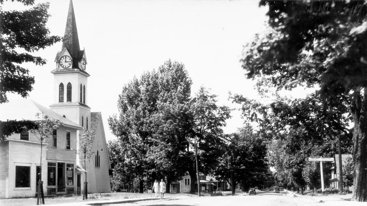
2) This 1920s view shows Main Street in which border town? Note the Anglican Church which burned down in the 1970s.
a) Mansonville
b) Abercorn
c) Beebe Plain
d) Rock Island
3) This view from the 1920s shows Child Street. But where?
a) Lennoxville
b) Waterville
c) Melbourne
d) Coaticook

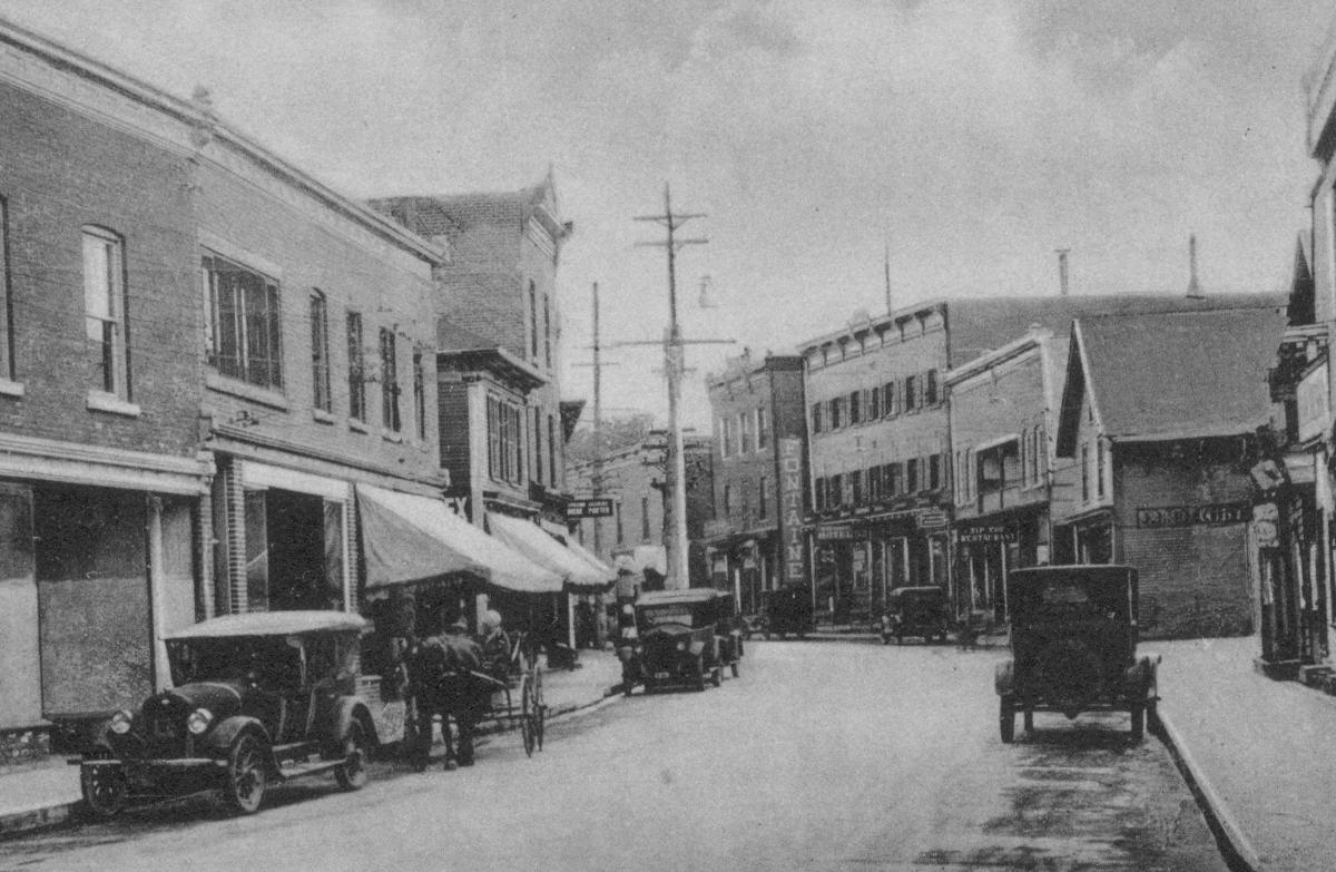
4) This photograph dates to the 1870s. The American Hotel is shown on the right. Where was this taken?
a) Sherbrooke
b) East Angus
c) Cowansville
d) Granby
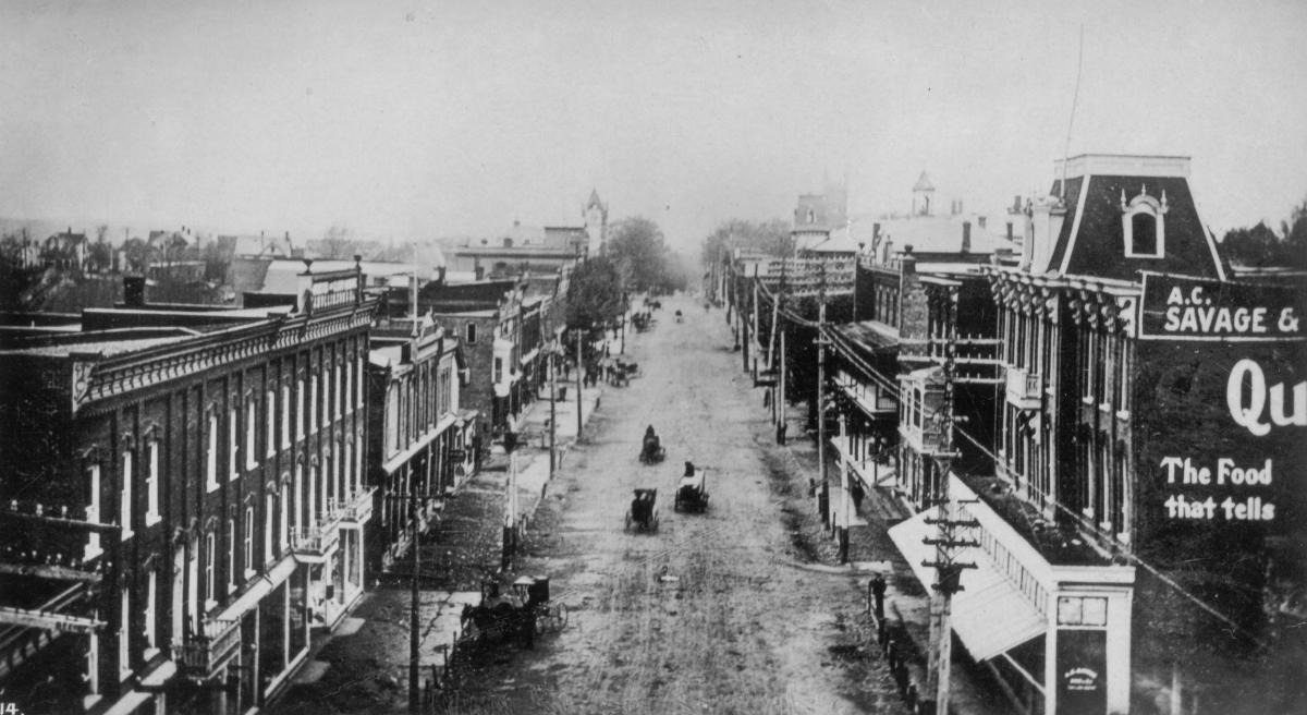
5) This is clearly a bigger town. But which one?
a) Sherbrooke
b) Granby
c) Magog
d) Way's Mills

6) This view dates to about 1905. The church is no longer there, but the courthouse on the right is. What town is it?
a) Stanstead Plain
b) Sherbrooke
c) Knowlton
d) Richmond

7) Another big town! But which one? Hint: this photo, c.1915, is taken on the corner of Main and Merry.
a) Eastman
b) Granby
c) Magog
d) Sherbrooke

8) This town, c.1915, was the scene of a terrible catastrophe a few years ago. Can you name it?
a) Lake Megantic
b) Windsor Mills
c) Granby
d) Cowansville
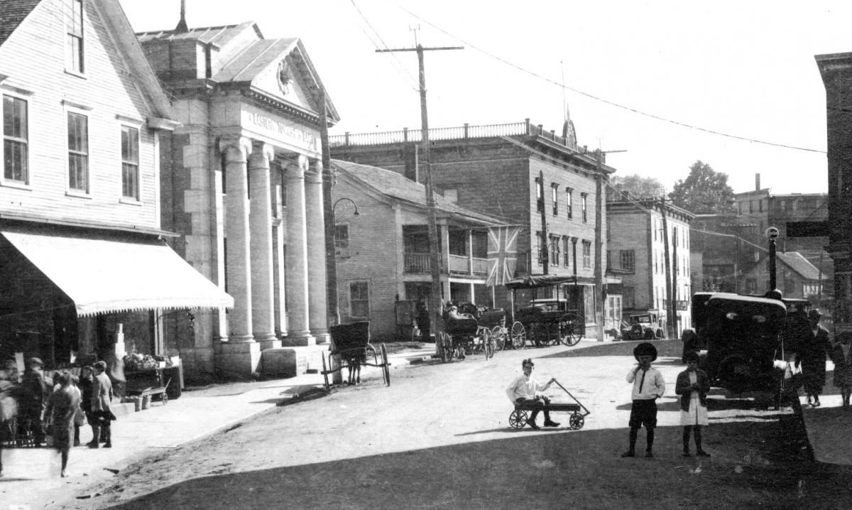
9) Front and centre in this photo is the old Eastern Townships Bank. What town is this?
a) Rock Island
b) Coaticook
c) Farnham
d) Frelighsburg
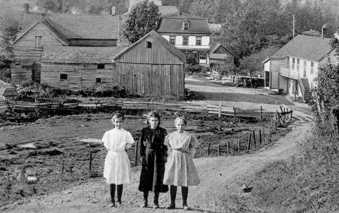
10) This postcard from 1910 shows what village? Hint: the white building in the distance is still the general store.
a) Barnston
b) Vale Perkins
c) East Hereford
d) Sutton
All images courtesy of Matthew Farfan. Reproduced with permission.
Click here for the answers!