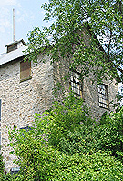
AYERS’ WOOLEN MILL, LACHUTE
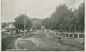
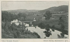
When American Hezekiah Clark arrived in the area of Lachute on the North River in the 1790s with his family and other pioneers, it was a wilderness. Settled by Americans who had been uncomfortable living with seigneurial law, and Scots moving up the North River from the St. Andrews East area, a village soon developed along the river near the rapids. But it wasn’t until the coming of the railway that the village became an important centre.![]()
 Ste. Agathe and the surrounding lakes have been the favoured destination of generations of North Americans.
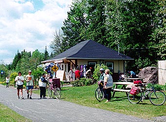 During the 20s and 30s, down hill skiing was all the rage and the P'tit Train du Nord played a pivotal role in opening up the Laurentians as a resort area. As the automobile arrived on the scene and the area was accessible by super highway, the trains usefulness finished and the rail line eventually shutdown.